EXPEDITION CRUISE

Northwest Passage: Eastern Gateway

CRUISE ID # ADVCANADAEP28-2-OV

Resolute Bay, Nunavut TO Kangerlussuaq Havn
Northwest Passage: Eastern Gateway
Expedition-style programming: take Zodiac rides and visit beautiful places every day, encounter stunning wildlife, learn from expedition team experts and local guides about places you visit, visit local communities and archeological and historic sites, and hike through seldom seen national parks. Please note: this itinerary may be subject to change without notice due to weather, ice, and sea conditions
TRIP STARTS ON
August 05, 2028
SHIP SAILS ON
August 05, 2028
HOTEL NIGHTS
Pre-Cruise: 0, Post-Cruise: 0
SHIP
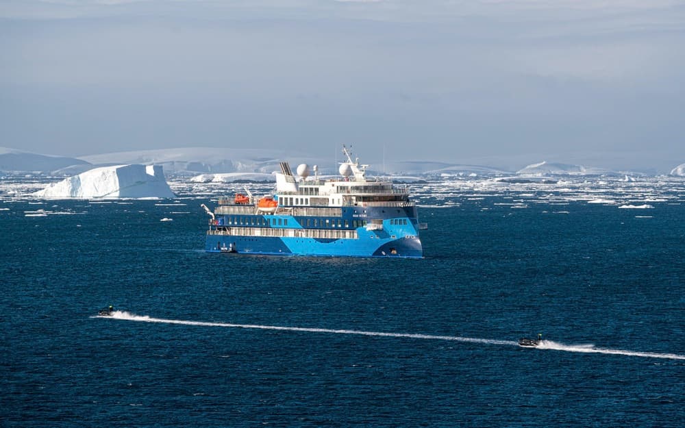
Ocean Victory
TRIP ENDS ON
August 17, 2028
STOPS
13 Stops, 2 Countries
CRUISE NIGHTS
12
OPERATOR
Adventure Canada
FROM: 

$17,845

WITH SPECIAL SAVINGS APPLIED

FARES SHOWN ARE PER GUEST

Suites & Fares

CHOOSE START DATE 

: August 05, 2028

 
STEP 1: CHOOSE YOUR PREFERRED DEAL
Expedition Fare (incl. Charter Flights)
View Suites

Itinerary

13 Ports
2 Countries

Qausuittuq stands on the southern coast of Cornwallis Island, surrounded by gravel plains, raised beaches, and the broad waterways of the Canadian High Arctic. Its Inuktitut name means “place with no dawn,” a reference to the long polar night, although summer brings light that lingers around the clock. The modern community began in 1953, when the Canadian government relocated Inuit families from Inukjuak and Mittimatalik to the High Arctic. Their descendants, known as Qausuitturmiut, have built a community with its own strong identity. Its strategic location has also made Qausuittuq an important centre for northern research, transportation, and expedition travel. Arrive by charter flight from Ottawa and transfer by Zodiac to the expedition vessel. From this historic crossroads, the waterways of Tallurutiup Imanga and the eastern gateway to the Northwest Passage open ahead.

Beechey Island is a small island off the southwest coast of Devon Island, separated by a narrow waterway called the Barrow Strait. Captain William Edward Parry was the first European to visit the island in 1819. His lieutenant, Frederick William Beechey, named the island after his father, the artist William Beechey (1753–1839). Beechey Island played a significant role in the history of Arctic Exploration. During the winter of 1845-46, Sir John Franklin and his men camped on the island as part of their ill-fated quest to find the Northwest Passage. Mummified remains of three of Franklin’s crew were discovered, giving a better understanding of what happened before the disappearance of the expedition. In 1850 Edward Belcher used the island as a base while surveying the area. Later, in 1903, Norwegian explorer Roald Amundsen stopped at the island at the beginning of his successful voyage in search for the Northwest Passage. Subsequently, Beechey Island has been declared a "Territorial Historic Site" since 1975 by the Northwest Territories government

Ikpiarjuk sits within a natural amphitheatre of tall hills at the head of Adams Sound, where cliffs and sculpted rock formations rise above a sheltered harbour. Its Inuktitut name means “the pocket,” a fitting description for a community held between mountains and sea on the northern coast of Baffin Island. The surrounding waters and lands have drawn people here for generations. Fishing and the harvesting of seal, narwhal, and other wildlife remain important to food, travel, and community life. Inuktitut is widely spoken, carrying knowledge particular to this coast, while carving, sewing, education, local businesses, and other forms of contemporary work reflect a community continually defining its own future. Ikpiarjuk is one of the communities most closely connected with Tallurutiup Imanga. Its waters provide travel routes and harvesting areas while linking the community with the wider Qikiqtani region. Time shared with residents offers an experience of Tallurutiup Imanga from the shore, expressed through language, creativity, daily life, and the welcome of those who know these waters as home. While we aim to visit Ikpiarjuk, conditions may lead us to another Arctic community instead.

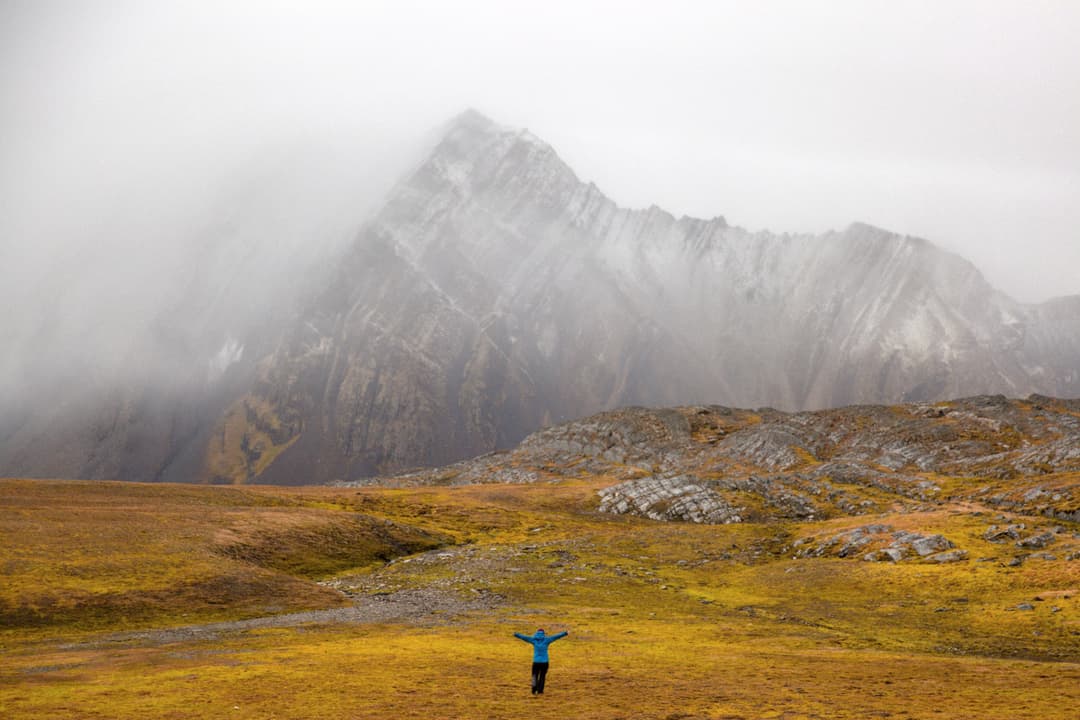
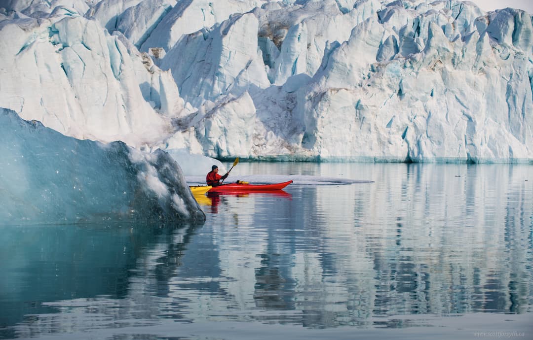
Between northern Baffin Island and Devon Island, Tallurutiup Imanga opens westward from Baffin Bay into the waterways of the Northwest Passage. Known on many maps as Lancaster Sound, it is the great eastern gateway through which wildlife, people, ice, and ships have moved for generations. Its name means the waters surrounding Tallurut, the Inuktitut name for Devon Island, whose markings are said to resemble the lines of traditional chin tattoos. Powerful tides and currents mix nutrients through these waters, sustaining one of the Arctic’s greatest concentrations of marine life. Narwhal, beluga and bowhead whales, walrus, seals, and polar bears move through the region, while immense colonies of seabirds gather along its cliffs and islands. In High Arctic summer, long daylight offers time to watch for wildlife from ship, Zodiac, and shore as sea ice continues to shift through the channels. Tallurutiup Imanga is also an artery connecting Inuit communities and an important place for travel, harvesting, and cultural practice. Its protection as one of Canada’s largest National Marine Conservation Areas recognizes both its extraordinary ecological value and generations of Inuit knowledge and stewardship. Inuit expedition team members and naturalists interpret how currents, ice, wildlife, and human life interact across this complex marine environment. Tallurut rises from these waters in broad plateaus, glacial valleys, gravel plains, and polar desert. Known in English as Devon Island, it is the world’s largest island without a permanent population, although archaeological sites attest to a long history of Paleo-Inuit and Inuit presence. Walks and Zodiac explorations bring its immense geological scale and delicate summer tundra into closer view. Across water and land, Tallurutiup Imanga gathers the defining elements of the eastern gateway into one remarkable High Arctic region.

Between northern Baffin Island and Devon Island, Tallurutiup Imanga opens westward from Baffin Bay into the waterways of the Northwest Passage. Known on many maps as Lancaster Sound, it is the great eastern gateway through which wildlife, people, ice, and ships have moved for generations. Its name means the waters surrounding Tallurut, the Inuktitut name for Devon Island, whose markings are said to resemble the lines of traditional chin tattoos. Powerful tides and currents mix nutrients through these waters, sustaining one of the Arctic’s greatest concentrations of marine life. Narwhal, beluga and bowhead whales, walrus, seals, and polar bears move through the region, while immense colonies of seabirds gather along its cliffs and islands. In High Arctic summer, long daylight offers time to watch for wildlife from ship, Zodiac, and shore as sea ice continues to shift through the channels. Tallurutiup Imanga is also an artery connecting Inuit communities and an important place for travel, harvesting, and cultural practice. Its protection as one of Canada’s largest National Marine Conservation Areas recognizes both its extraordinary ecological value and generations of Inuit knowledge and stewardship. Inuit expedition team members and naturalists interpret how currents, ice, wildlife, and human life interact across this complex marine environment. Tallurut rises from these waters in broad plateaus, glacial valleys, gravel plains, and polar desert. Known in English as Devon Island, it is the world’s largest island without a permanent population, although archaeological sites attest to a long history of Paleo-Inuit and Inuit presence. Walks and Zodiac explorations bring its immense geological scale and delicate summer tundra into closer view. Across water and land, Tallurutiup Imanga gathers the defining elements of the eastern gateway into one remarkable High Arctic region.

Between northern Baffin Island and Devon Island, Tallurutiup Imanga opens westward from Baffin Bay into the waterways of the Northwest Passage. Known on many maps as Lancaster Sound, it is the great eastern gateway through which wildlife, people, ice, and ships have moved for generations. Its name means the waters surrounding Tallurut, the Inuktitut name for Devon Island, whose markings are said to resemble the lines of traditional chin tattoos. Powerful tides and currents mix nutrients through these waters, sustaining one of the Arctic’s greatest concentrations of marine life. Narwhal, beluga and bowhead whales, walrus, seals, and polar bears move through the region, while immense colonies of seabirds gather along its cliffs and islands. In High Arctic summer, long daylight offers time to watch for wildlife from ship, Zodiac, and shore as sea ice continues to shift through the channels. Tallurutiup Imanga is also an artery connecting Inuit communities and an important place for travel, harvesting, and cultural practice. Its protection as one of Canada’s largest National Marine Conservation Areas recognizes both its extraordinary ecological value and generations of Inuit knowledge and stewardship. Inuit expedition team members and naturalists interpret how currents, ice, wildlife, and human life interact across this complex marine environment. Tallurut rises from these waters in broad plateaus, glacial valleys, gravel plains, and polar desert. Known in English as Devon Island, it is the world’s largest island without a permanent population, although archaeological sites attest to a long history of Paleo-Inuit and Inuit presence. Walks and Zodiac explorations bring its immense geological scale and delicate summer tundra into closer view. Across water and land, Tallurutiup Imanga gathers the defining elements of the eastern gateway into one remarkable High Arctic region.

Between northern Baffin Island and Devon Island, Tallurutiup Imanga opens westward from Baffin Bay into the waterways of the Northwest Passage. Known on many maps as Lancaster Sound, it is the great eastern gateway through which wildlife, people, ice, and ships have moved for generations. Its name means the waters surrounding Tallurut, the Inuktitut name for Devon Island, whose markings are said to resemble the lines of traditional chin tattoos. Powerful tides and currents mix nutrients through these waters, sustaining one of the Arctic’s greatest concentrations of marine life. Narwhal, beluga and bowhead whales, walrus, seals, and polar bears move through the region, while immense colonies of seabirds gather along its cliffs and islands. In High Arctic summer, long daylight offers time to watch for wildlife from ship, Zodiac, and shore as sea ice continues to shift through the channels. Tallurutiup Imanga is also an artery connecting Inuit communities and an important place for travel, harvesting, and cultural practice. Its protection as one of Canada’s largest National Marine Conservation Areas recognizes both its extraordinary ecological value and generations of Inuit knowledge and stewardship. Inuit expedition team members and naturalists interpret how currents, ice, wildlife, and human life interact across this complex marine environment. Tallurut rises from these waters in broad plateaus, glacial valleys, gravel plains, and polar desert. Known in English as Devon Island, it is the world’s largest island without a permanent population, although archaeological sites attest to a long history of Paleo-Inuit and Inuit presence. Walks and Zodiac explorations bring its immense geological scale and delicate summer tundra into closer view. Across water and land, Tallurutiup Imanga gathers the defining elements of the eastern gateway into one remarkable High Arctic region.

Between northern Baffin Island and Devon Island, Tallurutiup Imanga opens westward from Baffin Bay into the waterways of the Northwest Passage. Known on many maps as Lancaster Sound, it is the great eastern gateway through which wildlife, people, ice, and ships have moved for generations. Its name means the waters surrounding Tallurut, the Inuktitut name for Devon Island, whose markings are said to resemble the lines of traditional chin tattoos. Powerful tides and currents mix nutrients through these waters, sustaining one of the Arctic’s greatest concentrations of marine life. Narwhal, beluga and bowhead whales, walrus, seals, and polar bears move through the region, while immense colonies of seabirds gather along its cliffs and islands. In High Arctic summer, long daylight offers time to watch for wildlife from ship, Zodiac, and shore as sea ice continues to shift through the channels. Tallurutiup Imanga is also an artery connecting Inuit communities and an important place for travel, harvesting, and cultural practice. Its protection as one of Canada’s largest National Marine Conservation Areas recognizes both its extraordinary ecological value and generations of Inuit knowledge and stewardship. Inuit expedition team members and naturalists interpret how currents, ice, wildlife, and human life interact across this complex marine environment. Tallurut rises from these waters in broad plateaus, glacial valleys, gravel plains, and polar desert. Known in English as Devon Island, it is the world’s largest island without a permanent population, although archaeological sites attest to a long history of Paleo-Inuit and Inuit presence. Walks and Zodiac explorations bring its immense geological scale and delicate summer tundra into closer view. Across water and land, Tallurutiup Imanga gathers the defining elements of the eastern gateway into one remarkable High Arctic region.
Day
Nine
Arrival
August 13, 2028
Port
Day at Sea

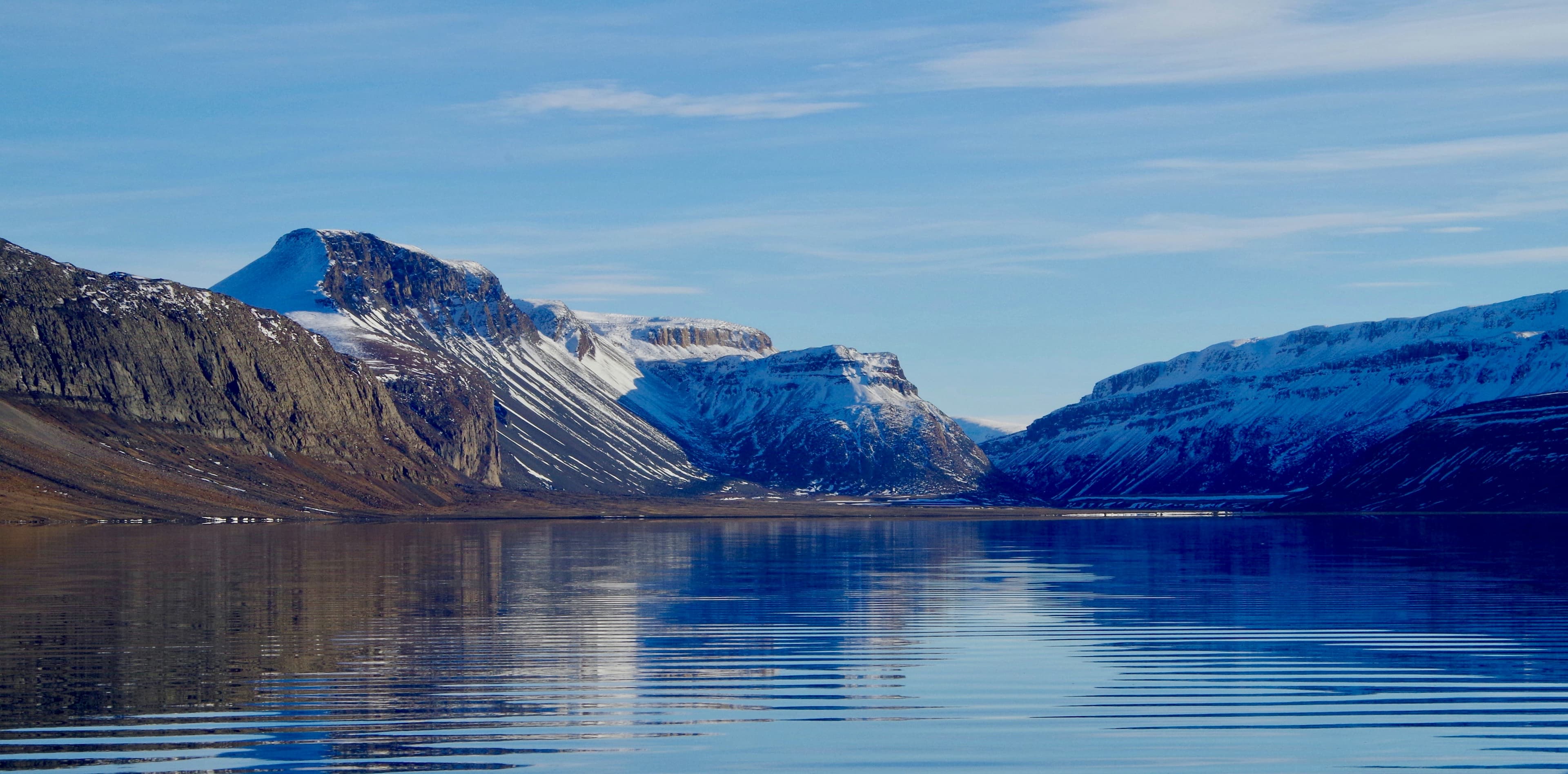
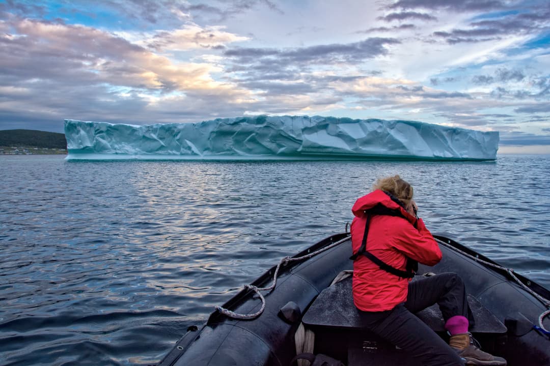
Northwest Greenland is a far-reaching world of islands, narrow channels, sheltered bays, and deep fjords enclosed by steep mountains. Glaciers descend from the ice sheet, while summer loosens sea ice and opens passages along the coast. The West Greenland Current carries immense icebergs northward, many beginning their journeys in Disko Bay before joining bergs released by glaciers farther north. Together, they form a moving flotilla of towers, arches, and fractured blue faces. During the nineteenth century, European whaling ships pressed through these ice-laden waters and across Melville Bay towards bowhead grounds in northern Baffin Bay and Tallurutiup Imanga. Small communities occupy rocky islands and natural harbours throughout this intricate seascape. Fishing and hunting remain central to life, while boats connect settlements separated by water and rugged terrain. Explore by ship, Zodiac, and on foot, following shorelines busy with breeding seabirds and walking across tundra brightened by white cottongrass and summer wildflowers. Long hours of daylight illuminate the coast, where every channel offers a different arrangement of rock, water, and drifting ice.

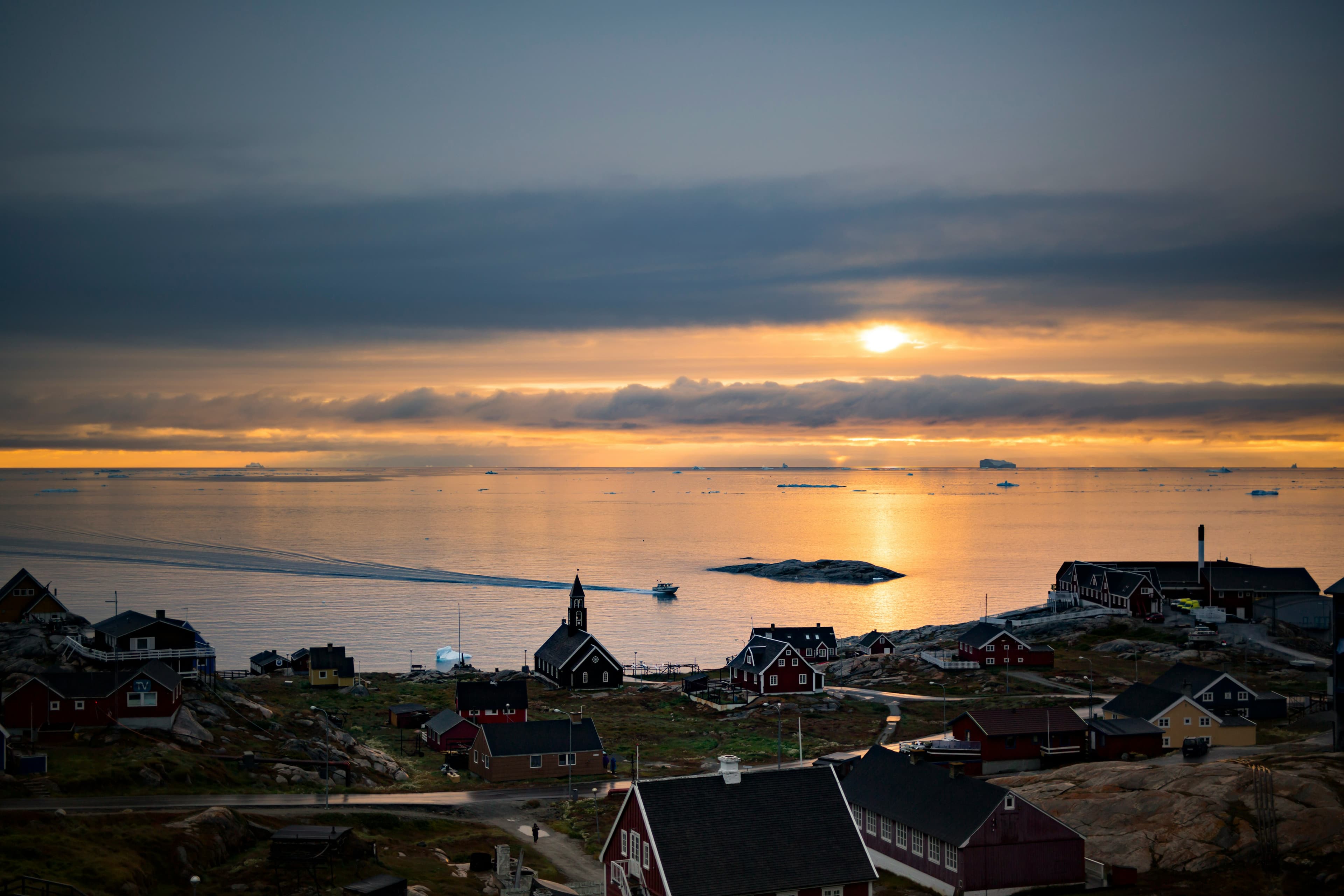
Known as the birthplace of icebergs, the Ilulissat Icefjord produces nearly 20 million tons of ice each day. In fact, the word Ilulissat means “icebergs” in the Kalaallisut language. The town of Ilulissat is known for its long periods of calm and settled weather, but the climate tends to be cold due to its proximity to the fjord. Approximately 4,500 people live in Ilulissat, the third-largest town in Greenland after Nuuk and Sisimiut. Some people here estimate that there are nearly as many sled dogs as human beings living in the town that also boasts a local history museum located in the former home of Greenlandic folk hero and famed polar explorer Knud Rasmussen.

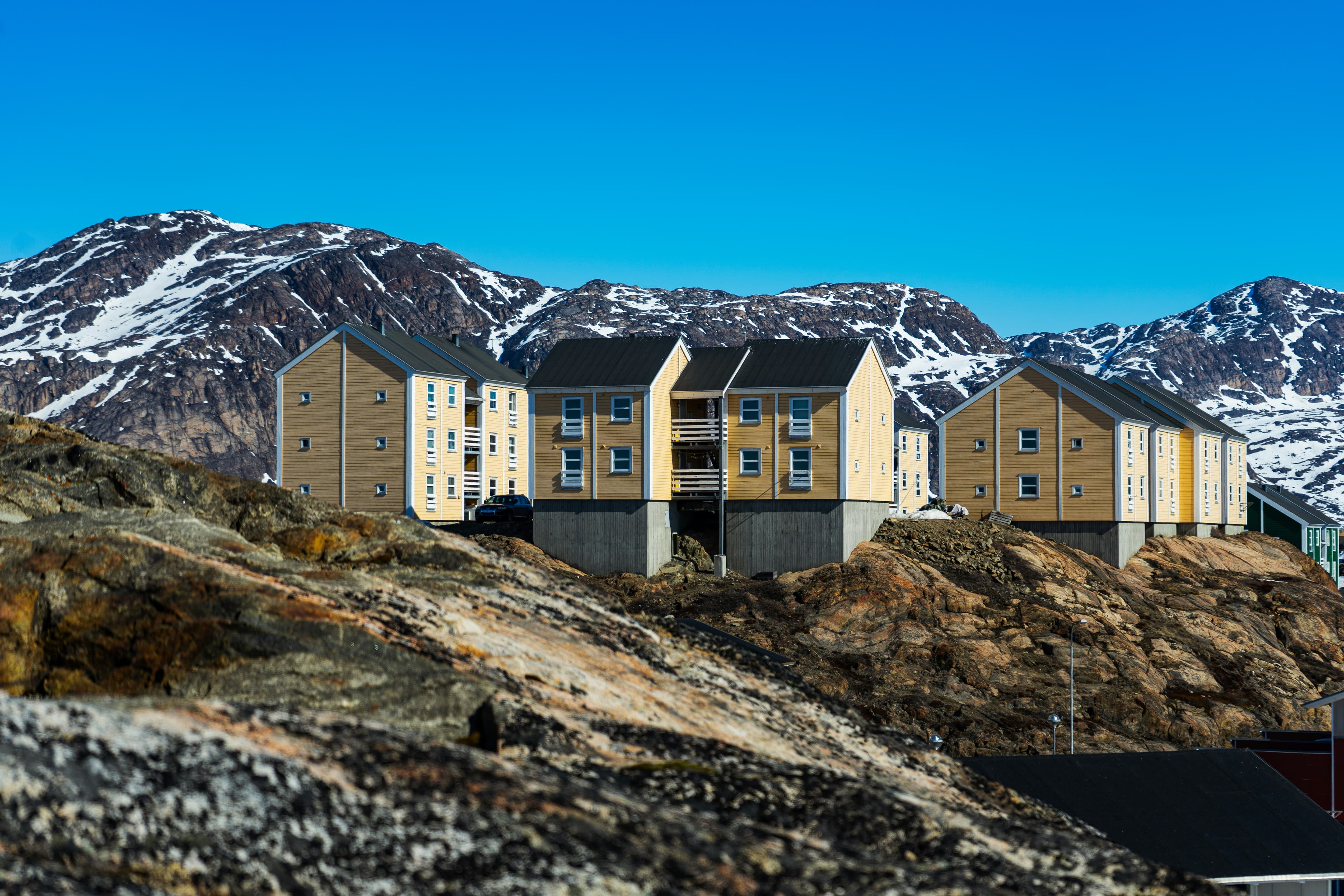
Located just north of the Arctic Circle, Sisimiut is the northernmost town in Greenland where the port remains free of ice in the winter. Yet it is also the southernmost town where there is enough snow and ice to drive a dogsled in winter and spring. In Sisimiut, travelling by sled has been the primary means of winter transportation for centuries. In fact, the area has been inhabited for approximately 4,500 years. Modern Sisimiut is the largest business center in the north of Greenland, and is one of the fastest growing Greenlandic cities. Commercial fishing is the lead economy in the town‘s thriving industrial base.

The name Kangerlussuaq means "Big Fjord" in the local Kalaallisut language. The settlement of about 500 people is located in western Greenland on flat land at the head of a fjord with the same name. Kangerlussuaq is the site of Greenland's largest commercial airport and most of the economy here is dependent on the air transportation hub and tourism. The rugged lands around the settlement support terrestrial Arctic fauna including muskoxen, caribou, and Gyrfalcons.

Show more

About the Ship

Name

Ocean Victory

Operator

Adventure Canada

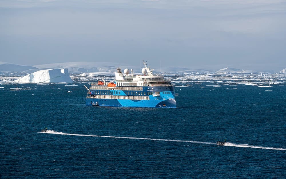
Adventure Canada’s next-generation expedition vessel.

Ship Facts
cabin count
93
capacity
175
crew count
101
deck count
7
currency
USD onboard
gross tonnage
8181
language
en-US
launch year
2021
length
104m
speed
16kts
wheelchair count
No Data
width
18m

Loading...

DINING

Meals aboard the Ocean Victory are as much about connection as nourishment. Guests enjoy dining in either of two restaurants, or, when weather allows, outdoor barbecues set against spectacular backdrops. Complimentary wine, beer, and soft drinks are served with dinner. Between meals, the Nordic Bar offers a welcoming space for drinks and conversation—making the experience a celebration of community, place, and purpose. 
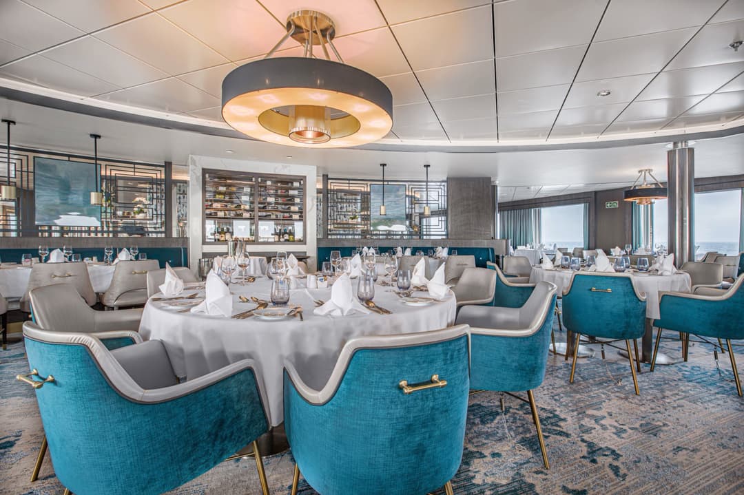
Beagle Restaurant

Savour hot soups, fresh salads, and nightly entrées of meat, fish, or vegetarian dishes, followed by desserts and ship-made ice cream, paired with wines, beers, or cocktails.

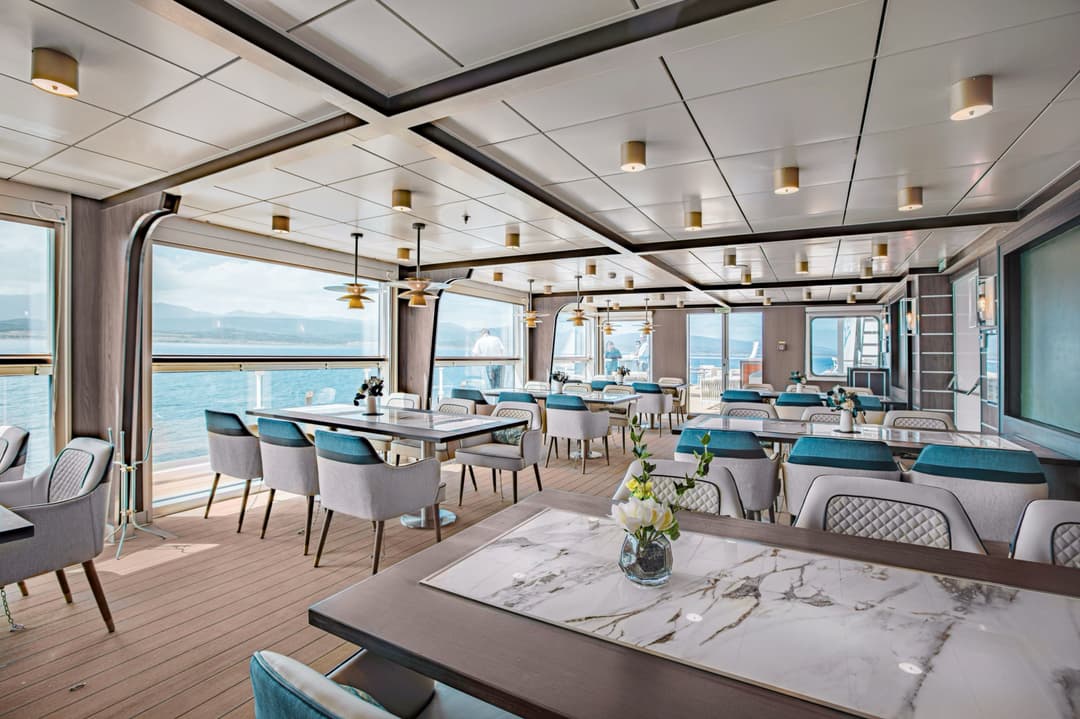
Panorama Specialty Restaurant

Dine with sweeping top-deck views, enjoying distinctive menus in a setting that celebrates both flavour and scenery.

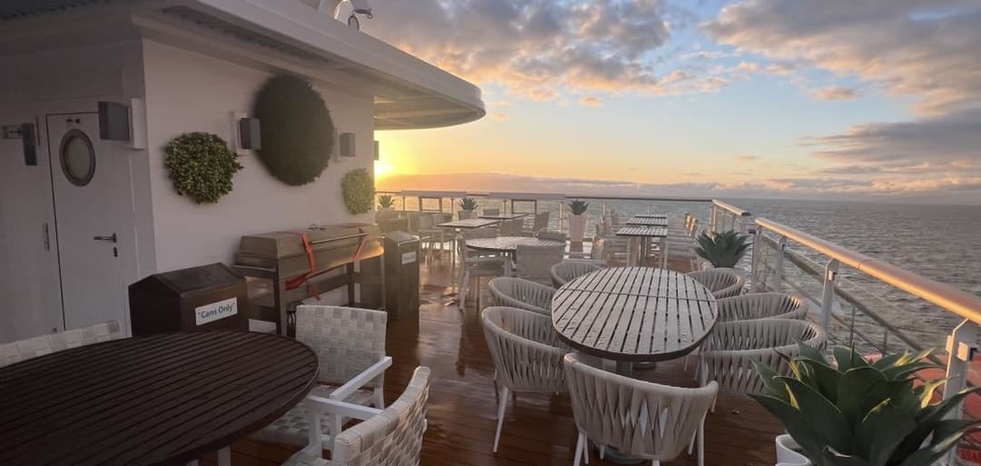
BBQ Deck
When weather permits, savour a delicious barbecue lunch on deck—an unforgettable way to enjoy grilled flavours surrounded by pristine scenery.
Entertainment

Life aboard the Ocean Victory feels like stepping into a welcoming community at sea. With a generous ratio of guests to expedition staff, travellers enjoy connecting with cultural educators, knowledge holders, scientists, naturalists, artists, musicians, and community leaders, whose stories and expertise add depth to every day.

Panoramic decks, bright lecture lounges, a cozy library, and excellent outdoor spaces provide natural gathering places—perfect for sharing discoveries, swapping stories, or reflection. Guests also enjoy hands-on workshops that spark creativity and learning. Accommodation includes ninety-three ocean-view cabins, most with private balconies, plus solo-occupancy options for independent travellers. Wi-Fi (basic service included) ensures guests stay connected while immersed in the adventure. 
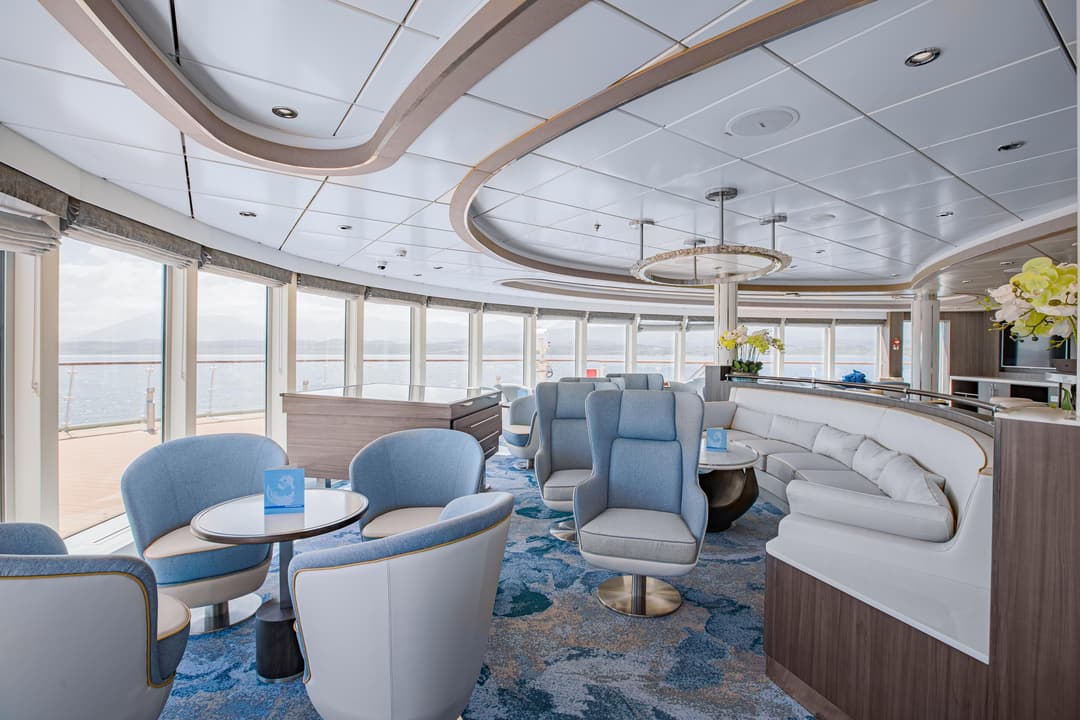
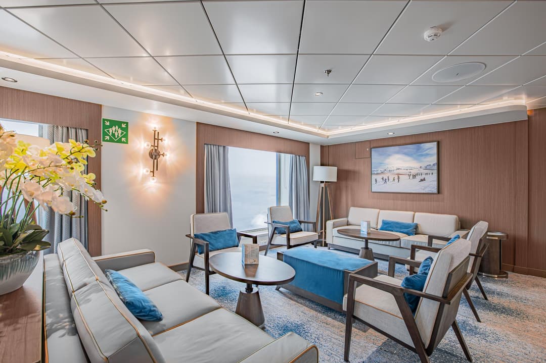
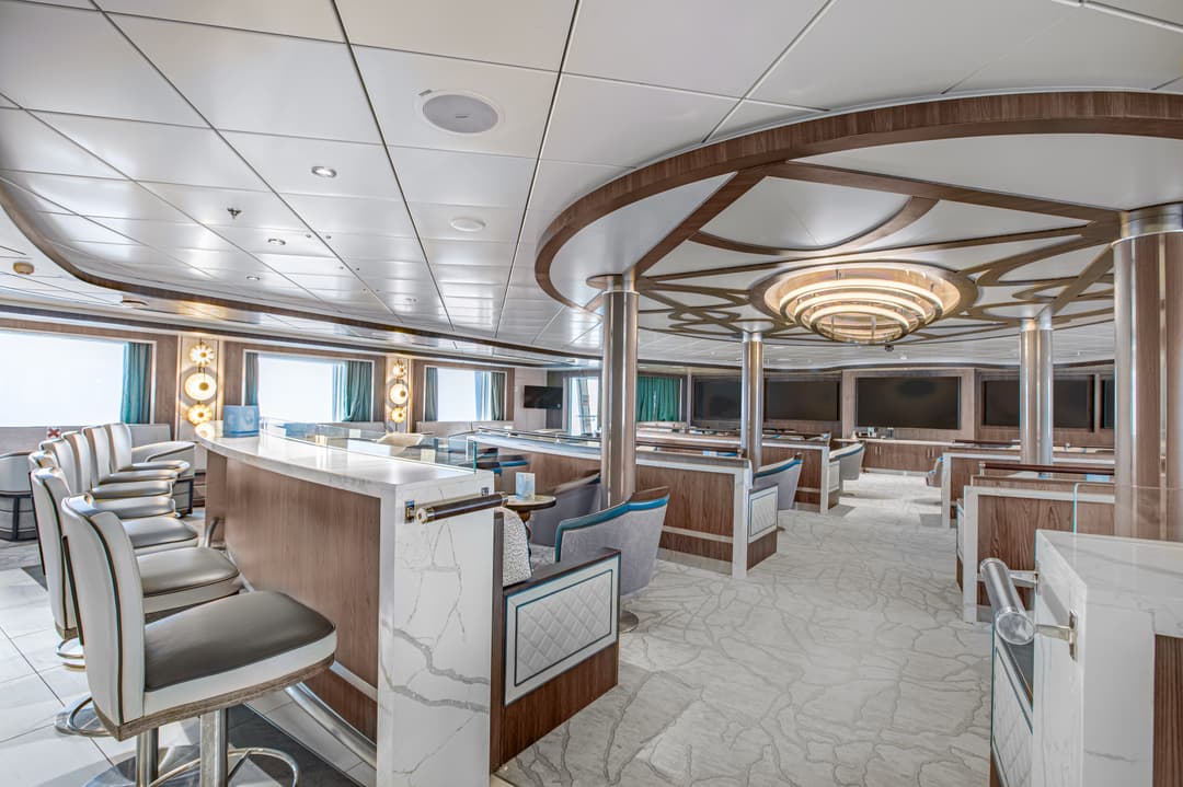
Observation Lounge

Relax in comfortable seating, enjoy sweeping polar views, and share conversation in a welcoming atmosphere designed to celebrate exploration and create memorable moments throughout your journey.

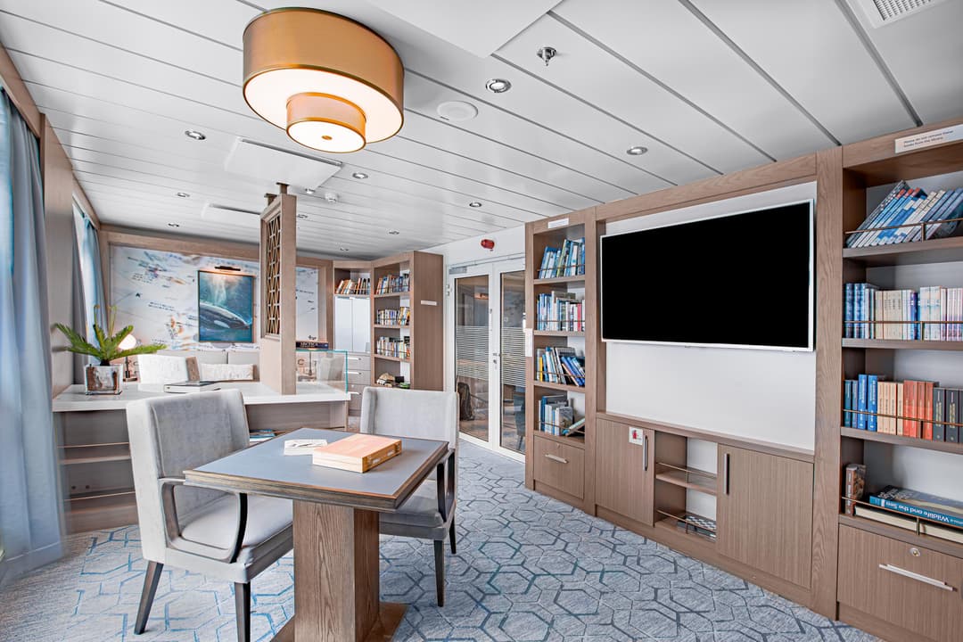
Knud Rasmussen Library

Explore sagas, polar histories, wildlife encyclopedias, and expedition tales—a quiet space to feed curiosity, spark imagination, and reflect on the spirit of exploration while at sea.

Nordic Bar Lounge

Experience warm Nordic hospitality with a wide selection of drinks, including curated wine tastings—the perfect setting to unwind, share stories, and connect after a day of exploration.

Health And Fitness
Fitness Room

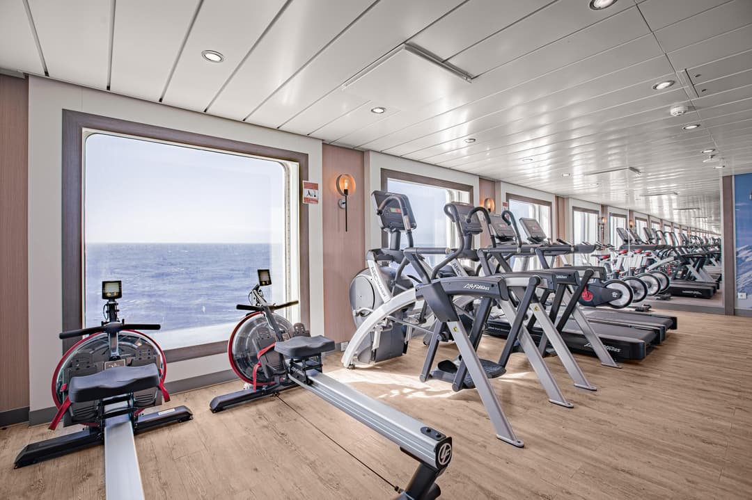
Stay active at sea with cardio equipment and weight machines. Floor-to-ceiling windows provide inspiring ocean views, turning every workout into a refreshing connection with the surrounding environment.

The Polar Spa

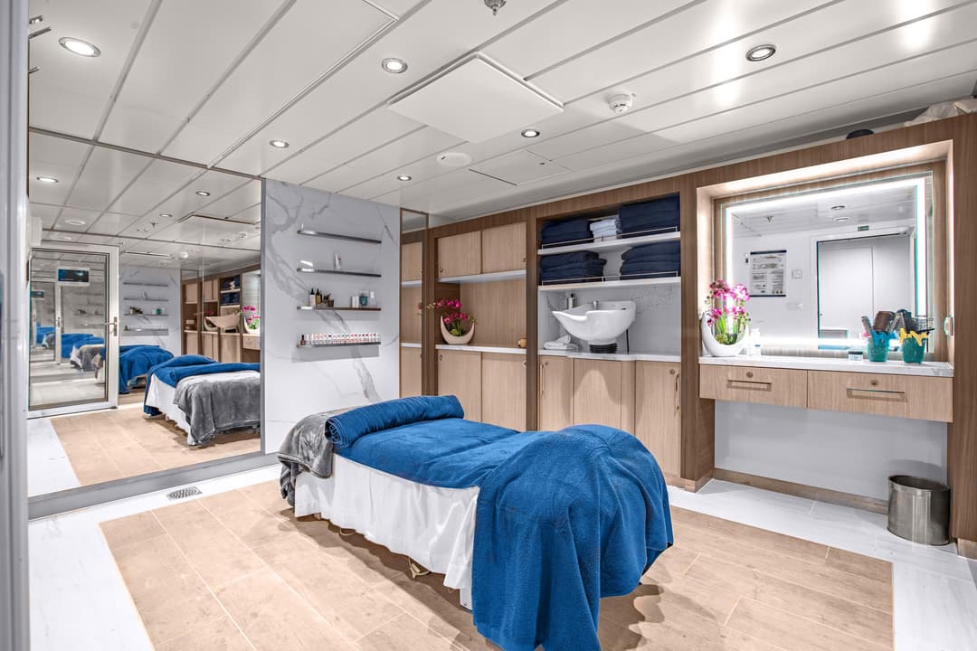
Unwind with destination-inspired treatments that reflect the spirit of the regions we explore—an inviting sanctuary for relaxation, renewal, and a deeper sense of well-being at sea.

Jacuzzis, Pool & Bar

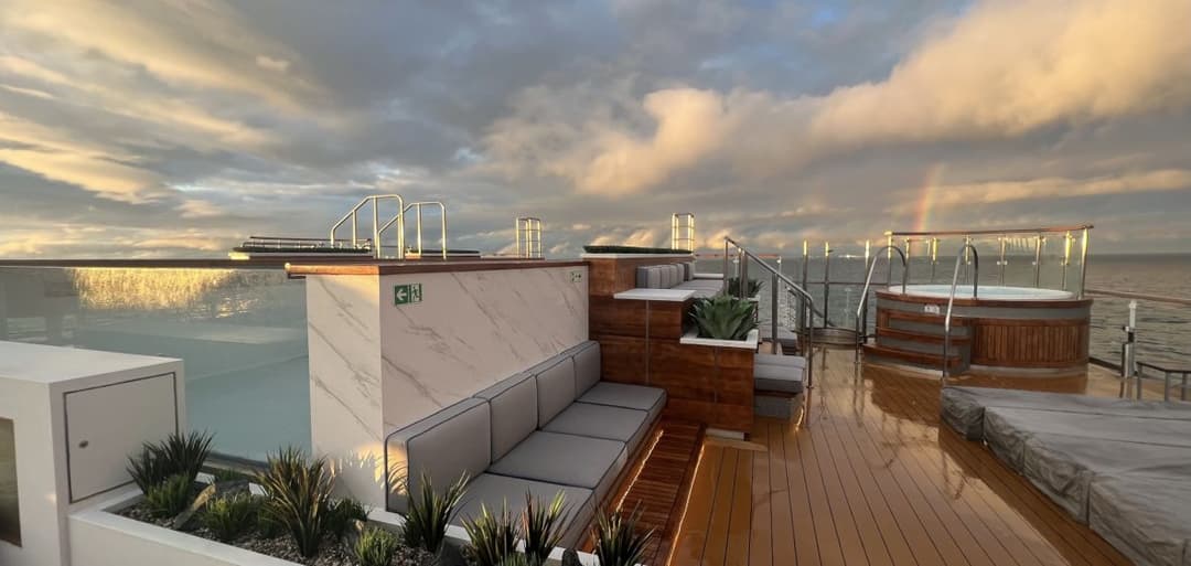
Relax in two jacuzzis or the infinity pool, with an outside bar nearby—offering spectacular upper-deck views of the polar landscape in a refreshing, social setting.

Enrichment
Expeditions

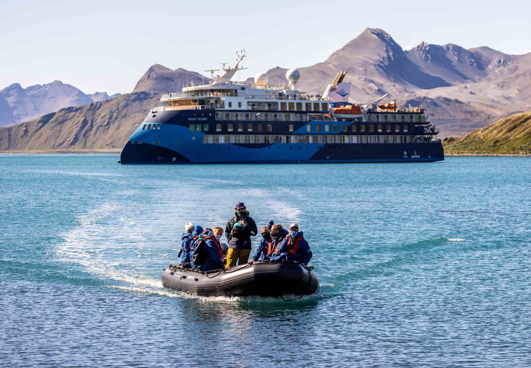
Every landing from the Ocean Victory is designed for ease and discovery. A spacious mud room keeps gear organized, while a fleet of eighteen Zodiacs ensures quick, safe access to beaches, coastlines, and wildlife viewing. These versatile crafts bring guests into the heart of the action—whether stepping onto wild shores or cruising past a seabird colony.

With Polar Code 6 and Ice Class 1A certification, the ship navigates icy seas confide....
Shackleton Lecture Lounge

Hear stories and insights from Indigenous knowledge holders, biologists, geologists, and artists. Inspiring talks, lively entertainment, and music in this welcoming space enrich the spirit of exploration between landings and adventures.

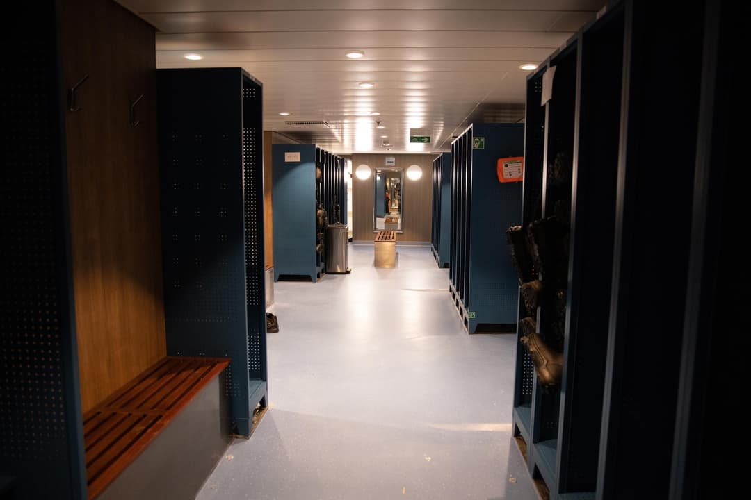
Mud Room

Organized for smooth Zodiac embarkations, the mud room stores jackets, boots, and expedition gear—keeping guests prepared, comfortable, and ready for each exciting shore landing and adventure.

USEFUL TO KNOW
Temperatures

In June, July, and August, the temperatures in the regions we visit are usually quite comfortable. It is common to have beautiful sunny days with temperatures reaching a high of 18°C. In the Arctic, we can also experience temperatures close to 0°C. When you are on land and walking around it usually gets quite warm and people tend to take off layers.

European and Canadian maritime destinations tend to be warmer than the Arctic in the summ....

Health & Safety

As a leader in expedition cruising, Adventure Canada has a deep commitment to safety. Our staff are rigorously trained and certified for their roles, and our ships’ crews have lifetimes of experience. We plan our routes in consultation with captain, crew, expedition leaders, and local guides for safe adventuring everywhere.

Medical Facilities

Adventure Canada expeditions take place far away from hospitals and other institutional medical care and are therefore intended for persons in good health. An adequate medical facility could be 72 hours away or more, and emergency evacuation and adequate medical treatment may be delayed or unavailable in certain areas. Our vessel is not equipped to handle serious medical conditions. Medical and Emergency Evacuation insurance is mandatory. If y....

Activity Level

Adventure Canada expeditions necessitate that passengers be in reasonably good health. Zodiac cruises and transfer times can be lengthy. You must be able to climb stairs between decks on the ship. You must also be able to climb the external gangway stairs to transfer between the ship and the Zodiacs. Our expedition team and ship crew are available to assist you in and out of the Zodiacs, both on shore and at the gangway. Adventure Canada exped....

Inclusions

Included

  • Passage aboard the Ocean Victory
  • Applicable taxes and credit card fees
  • Complimentary expedition jacket
  • Special access permits, entry, and park fees
  • Expert expedition team
  • Guided activities
  • Sightseeing and community visits
  • All Zodiac excursions
  • Port fees
  • Pre-departure materials
  • Educational program
  • Interactive workshops
  • Even....
Age Limitations

Adventure Canada offers family friendly Cruises. There is no minimum or maximum age restriction. Passengers under the age of 18 must have Adventure Canada’s “Agreement for Accompanying a Minor Guest” completed at the time of booking if travelling without their legal guardian. Passengers 16 and under must be accompanied by and share a cabin with a travel companion over the age of 18. No babysitting or childcare services are provided.

Special Accommodations

Adventure Canada is committed to extending a high level of customer service to all travellers, including persons with disabilities. We are committed to meeting the needs of persons with disabilities in a timely manner, and will do so by preventing and removing barriers to accessibility wherever possible.

Certain mandated safety requirements in the construction and operation of the Vessel inherently restrict maneuverability in many areas.....

Drones

Adventure Canada does not permit Passenger use of drones, including underwater drones or other unmanned vehicles. No exceptions will be made.